

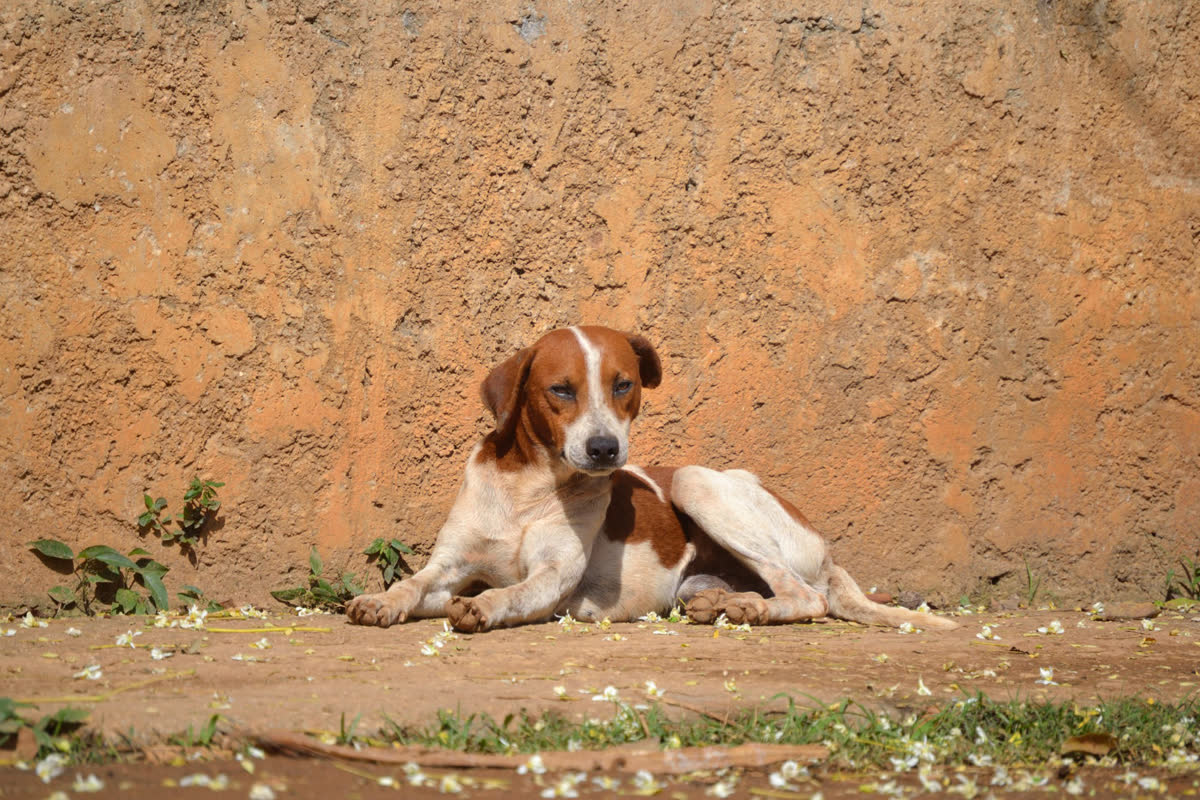
Each pin says how urgent.
 CriticalBadly hurt or in danger right now.
 Needs help soonHurt, sick, or weak, but not in danger right now.
 Just sightedLooks fine. Sharing where it was seen.
PawPin helps communities report stray animals, find nearby reports, and coordinate rescue efforts.
The place and time are fixed the moment the first photo is taken, so the pin is where the animal was.
Pick the animal, its size, color, and condition, then one of three urgency levels. Add a landmark if it helps.
Someone nearby taps I’m on my way. One rescuer per report, so two people do not make the same trip.
Rescued, or not found. The person who reported it is told either way.
It looks for an animal in your photos before you fill in the form, with no internet. If it sees none it asks first. You can still send.
Choose 1, 5, 10, or 25 km. A new report inside it reaches your phone, at most five an hour. Reporters hear how it ended.
When a rescuer claims a report or finishes it, every open screen changes. Nobody has to refresh.
One tap hands the exact spot to Google Maps or Waze.
Nearest first. Filter by distance, or show only your own reports.
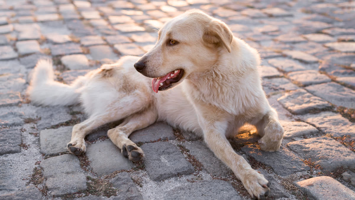
Your reports and Your rescues live in your profile, each with how it ended.
Guests can report strays. No form to fill in first.
A report nobody touches for 72 hours closes by itself. Anyone can flag one that looks wrong.
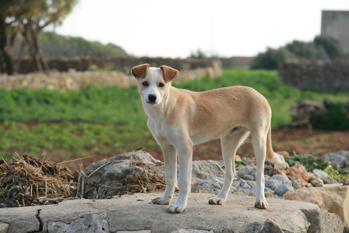
The app carries safety tips for going near an animal you do not know. Four of them:
Free. The file comes from PawPin's GitHub page, not from an app store.
Download APKThere is no iPhone version.
 Google Maps
 Waze
 Continue with Google